Longitude, Latitude, and Total Panic: I Tried Navigating Like an 18th-Century Pirate and Lasted Four Hours
There's a moment in every pirate movie where the captain strides to the bow, squints at the horizon, and barks coordinates with the casual confidence of a guy ordering at a drive-thru. I always assumed that was Hollywood magic. Turns out it was real, and the real version is somehow more impressive — because after spending one Saturday on a rented pontoon boat in upstate New York trying to navigate like it's 1717, I can confirm that I am, functionally, a golden retriever with a smartphone subscription.
The Setup: One Lake, Zero Satellites
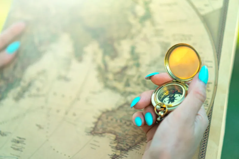
Here were my rules, drafted over coffee and immediately regretted: no GPS, no phone maps, no "checking Google real quick." Just a paper chart of the lake, a compass, a cheap brass sextant I bought online for the price of two fancy coffees, and the smug belief that modern humans are basically the same as historical humans, just with better Wi-Fi.
My friend Dana agreed to captain the boat, mostly because she didn't read the rules carefully. Her job was steering. My job was telling her where to steer. This division of labor would prove catastrophic.
Dead Reckoning Is a Lie You Tell Yourself With Math
Dead reckoning sounds so authoritative, doesn't it? Like a Metallica album. In practice, it's the navigational equivalent of guessing your gas mileage by vibes. You start from a known point, track your speed and heading, and estimate where you are over time. Every error compounds. Every wave nudges you off course in ways you can't see.
Pirate crews did this for months. They'd drop a log line overboard — a rope with knots tied at regular intervals — count the knots as they paid out, and multiply by time. Yes, that's why we measure speed in knots. Yes, I now think about that every time a cruise ship commercial comes on.
On my lake, I counted my knots by watching the wake and guessing. My heading came from a compass I had to keep reminding myself not to hold near the boat's metal cooler. Within ninety minutes, my carefully plotted position put us somewhere approximately in the middle of a hillside.
The Sun: A Free GPS That Hates You
Celestial navigation is where the pirates go from "impressive" to "suspected wizards." The concept is simple — measure the angle of the sun or a star above the horizon, compare it to tables, get your latitude. The execution is a hand-cramping, eye-squinting nightmare.
I brought a backstaff, the period-correct instrument that let navigators observe the sun without staring directly into it, because apparently 17th-century sailors valued their retinas. I could not get a clean sighting. The boat rocked. The sun moved. Dana laughed. My measurement suggested we were at a latitude somewhere near, generously, the correct hemisphere.
And latitude was the easy part. Longitude — your east-west position — was so notoriously difficult that in 1714 the British government put up a prize worth millions in today's money just for a reliable solution. Sailors literally died of scurvy while circling the same patch of ocean, dead-reckoning themselves into fiction. A carpenter named John Harrison eventually cracked it with a clock, and Parliament dragged its feet paying him for years. History's greatest trolls.
The Modern Verdict: We Are All Helpless Barnacles
Here's the thing nobody tells you about outsourcing your wayfinding to a phone: you didn't just lose the skill, you lost the tolerance for uncertainty. When my plotted position and the actual shoreline disagreed, I felt genuine, palm-sweating panic. The pirates lived in that fog daily and responded by... inventing shanties and stealing ships. Incredible.
Four hours in, I conceded. We fired up the boat's GPS, discovered we were off by nearly two miles, and I sat with my shame while Dana drove us to the burger place on the far shore. The paper chart is now framed in my hallway, a monument to hubris.
But here's my honest recommendation: try it. Rent the dorky boat. Bring the compass. Get lost on a small, safe, lifeguard-adjacent body of water. Because there's something genuinely moving about realizing that a guy with no shoes, bad teeth, and a hand-drawn map crossed an entire ocean using math, stars, and sheer stubbornness — while I couldn't locate a burger joint without a satellite.
Dead reckoning, it turns out, wasn't dead wrong. I was.
Yo ho ho, and pass the phone.